

Urban planners and architects across Europe face mounting complexity when translating ambitious city concepts into actionable designs and engaging narratives. As urban development accelerates, traditional 2D maps no longer capture the depth or dynamic nature of modern metropolitan challenges. 3D city models now offer precise visualisation, detailed analysis, and seamless stakeholder communication that transform how cities are planned and shaped. This guide clarifies key concepts and technical foundations, helping professionals use these innovative digital tools to address multifaceted planning needs.
Table of Contents
- Defining 3D City Models And Key Concepts
- Major Types And Detail Levels Explained
- Core Functions And Platform Capabilities
- Enhanced Decision-Making And Stakeholder Engagement
- Cost, Compliance, And Common Misconceptions
Key Takeaways
| Point | Details |
|---|---|
| Importance of 3D City Models | 3D city models provide sophisticated digital representations that enhance urban planning through improved visualisation and analysis of spatial data. |
| Levels of Detail (LOD) | Understanding LOD classifications is crucial for selecting the appropriate model complexity to achieve specific urban planning outcomes. |
| Core Functions of Modelling Platforms | Advanced 3D city modelling platforms facilitate comprehensive data integration and support complex analyses for effective urban management. |
| Financial Considerations and Compliance | Conducting cost-benefit analyses is essential to understand the long-term value of 3D city models, while compliance frameworks enhance interoperability and reliability. |
Defining 3D City Models and Key Concepts
3D city models are sophisticated digital representations of urban environments that capture complex spatial and semantic information about cities. These advanced technological frameworks go beyond traditional 2D mapping by integrating detailed geometric, topographical, and contextual data about urban landscapes.
At their core, 3D city models serve multiple critical functions in urban planning and design. They enable professionals to:
- Visualise urban spaces with unprecedented accuracy
- Simulate complex environmental interactions
- Analyse infrastructural and architectural configurations
- Support decision-making through comprehensive spatial insights
Semantic information plays a crucial role in these models. Advanced multimodal urban representations now integrate geometric structures with rich contextual layers, allowing urban planners to understand cities not just as physical spaces, but as dynamic ecosystems.
The technical foundations of 3D city models involve intricate data acquisition and processing techniques. Digital city modelling standards like CityGML provide standardised frameworks for capturing and exchanging urban spatial data, ensuring interoperability across different technological platforms and research domains.
Pro tip: When initiating a 3D city modeling project, prioritise comprehensive data collection and adhere to established international standards to ensure model accuracy and transferability.
Major Types and Detail Levels Explained
3D city models encompass a diverse range of representations with varying levels of complexity and detail. Understanding these variations is crucial for urban planners and researchers seeking to leverage digital urban modelling technologies effectively.
Levels of Detail (LOD) in 3D city models are typically classified into multiple categories:
- LOD 0: Regional overview with basic terrain and building footprints
- LOD 1: Block-level models with generalised building volumes
- LOD 2: Detailed models including roof structures and basic architectural features
- LOD 3: Precise architectural representations with surface textures and detailed exteriors
- LOD 4: Complete models including interior architectural elements and semantic information
Each level provides incrementally more sophisticated spatial data, enabling increasingly complex urban analyses and simulations. Advanced 3D city modeling standards now allow professionals to model different components at varying detail levels simultaneously, providing unprecedented flexibility in urban representation.
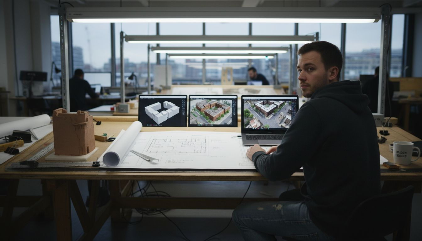
To clarify distinctions between detail levels, here is a summary of LOD applications and benefits:
| Level of Detail (LOD) | Typical Use Case | Data Complexity | Primary Benefit |
|---|---|---|---|
| LOD 0 | Regional planning | Low | Broad area overview |
| LOD 1 | Citywide analysis | Moderate | Quick volume estimation |
| LOD 2 | Urban studies | Higher | Roof/shape insights |
| LOD 3 | Architecture | Advanced | Realistic simulations |
| LOD 4 | Facility management | Very high | Interior analysis precision |
Modern 3D city models extend beyond traditional building representations to include comprehensive urban infrastructure. These models can integrate:
- Road networks and transportation systems
- Vegetation and green spaces
- Water features and drainage systems
- Underground infrastructure
- Bridges and tunnels
- Public spaces and urban landscapes
Semantic enrichment transforms these models from mere geometric representations into intelligent, data-rich urban simulations. By embedding contextual information about materials, occupancy, energy performance, and spatial relationships, urban planners can conduct sophisticated analyses that support sustainable development strategies.
Pro tip: Select the appropriate Level of Detail based on your specific project requirements, balancing computational complexity with analytical precision.
Core Functions and Platform Capabilities
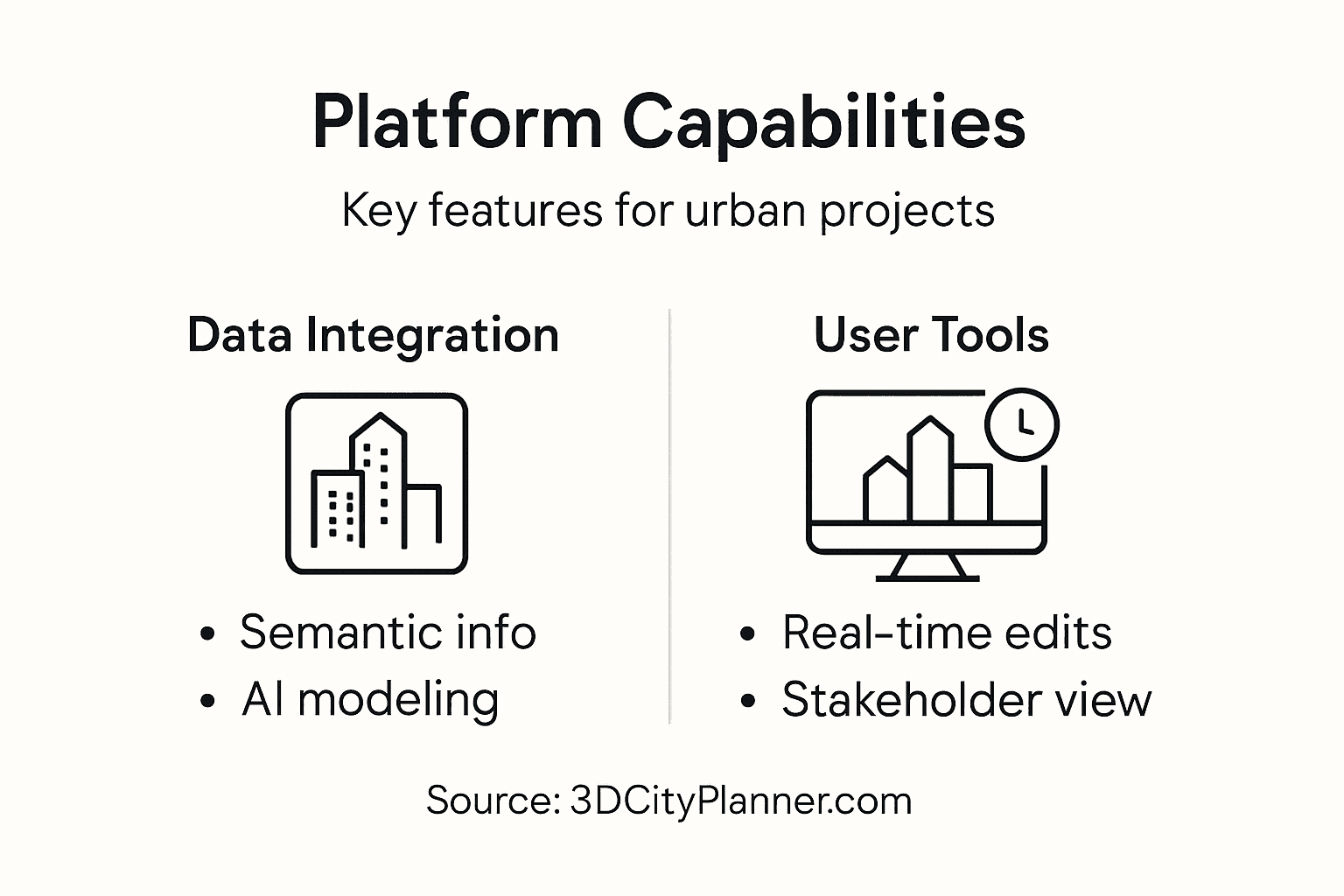
3D city modeling platforms represent sophisticated technological ecosystems designed to transform urban data into actionable intelligence. These advanced digital environments enable urban professionals to move beyond traditional planning approaches by providing comprehensive analytical capabilities.
Urban modeling platforms offer a range of core functions that support sophisticated urban analysis and management:
- Data acquisition and integration from multiple sources
- Semantic data modeling and categorisation
- Advanced geospatial visualisation tools
- Complex simulation capabilities
- Real-time scenario generation and testing
- Interdisciplinary data management
The technological infrastructure of these platforms supports multiple critical urban planning functions. Professionals can leverage these tools to conduct detailed analyses such as:
- Airflow and wind pattern simulations
- Energy consumption and sustainability assessments
- Disaster mitigation and emergency response planning
- Infrastructure development and urban growth projections
- Environmental impact assessments
Semantic data integration transforms these platforms from mere graphical representations into intelligent decision-support systems. By embedding contextual information across multiple urban domains, planners can develop nuanced understanding of complex urban dynamics.
Advanced platforms now incorporate machine learning and artificial intelligence capabilities, enabling predictive modeling and dynamic scenario testing. These technologies allow urban professionals to explore potential future configurations, assess risks, and optimise urban design strategies with unprecedented precision.
Pro tip: Select a 3D city modeling platform that offers flexible data integration and supports multi-disciplinary analysis to maximise your urban planning capabilities.
Enhanced Decision-Making and Stakeholder Engagement
Stakeholder communication represents a critical challenge in urban planning, where complex design concepts must be translated into comprehensible visual narratives. 3D city models provide a revolutionary approach to bridging communication gaps between technical experts and diverse urban stakeholders.
Advanced visualization techniques enable urban professionals to transform abstract planning data into accessible, interactive representations that facilitate meaningful dialogue and collaborative decision-making.
The key advantages of 3D city models in stakeholder engagement include:
- Transparent representation of proposed urban interventions
- Intuitive visualization of complex spatial relationships
- Realistic simulation of urban design scenarios
- Quantitative impact assessment capabilities
- Reduction of misunderstandings between technical and non-technical participants
- Enhanced scenario comparison and evaluation
Stakeholder engagement processes benefit significantly from these technological capabilities. Urban planners can now:
- Generate immersive visual presentations
- Conduct real-time design modifications
- Demonstrate precise environmental impacts
- Enable public participation through interactive platforms
- Validate design concepts before implementation
Participatory governance emerges as a powerful outcome of these advanced modeling techniques. By providing clear, comprehensible visualizations, 3D city models democratise urban planning processes, allowing citizens to understand and contribute to complex urban development strategies.
Digital platforms transform traditional top-down planning approaches into collaborative, inclusive processes. Sophisticated 3D modeling enables multi-stakeholder dialogue, bringing together urban planners, architects, policymakers, and community representatives to co-create more responsive and sustainable urban environments.
Pro tip: Prioritise interactive, user-friendly 3D visualisation tools that allow real-time modifications to maximise stakeholder understanding and engagement.
Cost, Compliance, and Common Misconceptions
Financial considerations represent a critical aspect of implementing 3D city modeling technologies, often deterring organisations from embracing these advanced urban planning tools. Understanding the nuanced economics and addressing prevalent misconceptions can help urban professionals make informed technological investments.
Cost-benefit analyses demonstrate that initial implementation expenses are frequently offset by substantial long-term benefits across multiple urban development domains.
Common misconceptions about 3D city modeling include:
- High implementation costs prohibit widespread adoption
- Complex technologies require extensive specialised training
- Models lack accuracy and real-world applicability
- Standardisation remains challenging across different platforms
- Significant technical expertise is mandatory for utilisation
Actual financial considerations involve multiple factors:
The following table provides a concise overview of key factors influencing the cost-benefit rationale for 3D city modelling:
| Factor | Short-Term Impact | Long-Term Impact |
|---|---|---|
| Initial Investment | High upfront cost | Enables future reuse |
| Training & Adoption | Requires resources | Builds in-house expertise |
| Maintenance | Regular updates needed | Sustained data accuracy |
| Efficiency Gains | Minimal at start | Major time/cost savings |
| Strategic Value | Not immediately seen | Informed decision-making |
- Initial technology investment
- Staff training requirements
- Ongoing maintenance and update costs
- Potential efficiency gains
- Long-term strategic value
Compliance frameworks play a crucial role in ensuring the reliability and interoperability of 3D city models. Emerging international standards facilitate seamless data exchange and reduce technological fragmentation across different urban planning contexts.
Professional organisations increasingly recognise that 3D city modeling represents not an expense, but a strategic investment in more efficient, transparent, and responsive urban development processes. The ability to simulate complex scenarios, predict infrastructure impacts, and engage stakeholders more effectively justifies the initial technological commitment.
Pro tip: Conduct a comprehensive cost-benefit analysis that considers both direct technological expenses and potential long-term strategic advantages before implementing 3D city modeling platforms.
Unlock the Power of 3D City Modeling for Your Urban Projects
The article highlights critical challenges urban planners face such as integrating detailed semantic data, managing varying Levels of Detail, and engaging diverse stakeholders effectively. At the heart of these challenges lies the need for a digital platform that combines high-precision modelling, real-time scenario analysis, and intuitive visualisations to improve decision-making and collaboration. By leveraging terms like “semantic information” and “interactive visualisation tools” you can see how traditional planning methods can fall short when communicating complex urban data.
Discover how 3dcityplanner.com directly addresses these pain points. Our platform offers powerful solutions including automatic building generation, line-of-sight visualisations, noise simulation, and multi-format 3D import capabilities. These features enable you to streamline your workflow and bring multi-disciplinary teams together through immersive 3D experiences that clearly communicate every detail of your project.
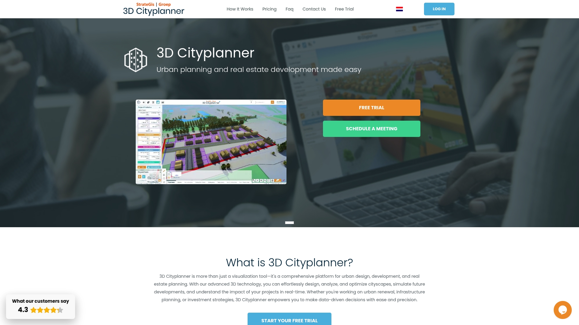
Ready to elevate your urban planning with cutting-edge 3D city modelling and stakeholder engagement tools Build your next project smarter and faster by exploring 3dcityplanner.com now Take advantage of free trials and intuitive training and experience the future of urban development today
Frequently Asked Questions
What are 3D city models used for?
3D city models are used for visualising urban spaces, simulating environmental interactions, analysing architectural configurations, and supporting decision-making in urban planning.
How do Levels of Detail (LOD) in 3D city models affect urban planning?
Levels of Detail (LOD) provide variations in complexity, from basic terrain overviews to detailed architectural representations. Higher LODs allow for more sophisticated analyses and accurate simulations.
What are the benefits of using 3D city models for stakeholder engagement?
3D city models enhance stakeholder engagement by providing intuitive visualisations of urban designs, facilitating real-time modifications, and enabling meaningful dialogue among urban planners, architects, and community representatives.
How can 3D city models influence urban sustainability practices?
By embedding semantic information, 3D city models allow for comprehensive analyses of energy consumption, environmental impacts, and disaster mitigation strategies, ultimately supporting more sustainable urban development.


6 comments