

Every urban development project in a European city brings a unique mix of complexity and ambition. Early choices around data, stakeholder goals, and modelling workflows can determine whether your vision translates into actionable results. Leveraging 3D technology for sustainable urban development enables planners and architects to move from manual processes to integrated, data-driven strategies. This guide reveals how structured digital planning processes, from requirement assessment to advanced simulation, help you achieve efficiency and clear, measurable outcomes.
Table of Contents
- Step 1: Assess Project Requirements And Set Objectives
- Step 2: Import Site Data And Select 3D Modelling Tools
- Step 3: Design Urban Layouts And Simulate Scenarios
- Step 4: Analyse Visual Impact And Environmental Factors
- Step 5: Verify Compliance And Present Workflow Outcomes
Quick Summary
| Key Point | Explanation |
|---|---|
| 1. Assess project requirements | Understand the scope and set clear objectives to align stakeholders and ensure success. |
| 2. Choose suitable modelling tools | Select 3D modelling tools based on compatibility and project needs to enhance planning accuracy. |
| 3. Design and test urban layouts | Utilize advanced simulations to explore multiple scenarios and refine design strategies effectively. |
| 4. Analyse environmental impacts | Conduct thorough assessments of visual and ecological effects to ensure responsible urban development. |
| 5. Present findings clearly | Create engaging presentations that effectively communicate design strategies and compliance metrics to stakeholders. |
Step 1: Assess project requirements and set objectives
When starting an urban development project, your first critical task involves thoroughly understanding the project’s scope and establishing clear, measurable objectives. This initial phase sets the foundation for successful urban planning strategies and ensures all stakeholders align with project goals.
Begin by conducting a comprehensive data analysis and stakeholder engagement process. This involves several key steps:
- Gather detailed spatial information about the project area
- Identify primary urban challenges and development needs
- Collect input from local government representatives, community members, and technical experts
- Review existing infrastructure and environmental constraints
Your objective setting should focus on creating actionable and quantifiable goals. This means developing precise targets that can be measured throughout the project lifecycle. For instance, instead of a vague goal like “improve urban spaces,” define specific outcomes such as “increase green space by 20% within designated development zones” or “reduce traffic congestion by implementing smart transportation corridors”.
Here is a summary of key objectives and their benefits in urban development projects:
| Objective Type | Example | Benefit |
|---|---|---|
| Environmental Improvement | Increase green space by 20% | Enhances public well-being |
| Transport Efficiency | Reduce congestion via smart routes | Lowers commute times |
| Infrastructure Enhancement | Upgrade utilities in key areas | Supports population growth |
| Community Engagement | Consult stakeholders regularly | Builds consensus and support |
Clear objectives transform complex urban challenges into structured, achievable design goals.
By meticulously assessing requirements and establishing precise objectives, you create a robust framework that guides subsequent planning and implementation phases.
Pro Tip: Always document your initial requirements and objectives in a formal project charter to maintain clarity and serve as a reference point throughout the urban development process.
Step 2: Import site data and select 3D modelling tools
With your project objectives established, the next crucial phase involves importing site data and selecting appropriate 3D modelling tools that will transform your urban planning vision into a detailed digital representation. This step is fundamental in creating an accurate and comprehensive urban development model.
Begin by collecting geospatial data through multiple sources, including aerial imagery and LiDAR scanning. Your primary data collection should focus on gathering:
- High-resolution aerial photographs
- Topographical terrain models
- Building footprints and height information
- Infrastructure and road network details
- Environmental constraint maps
When selecting 3D modelling tools, consider critical factors such as data format compatibility, computational requirements, and project-specific needs. Different tools offer varied capabilities for urban digital twin creation, so evaluate options based on:

The following table compares common 3D modelling tools for urban planning purposes:
| Tool Name | Strength | Typical Use Case |
|---|---|---|
| Autodesk InfraWorks | Rapid concept modelling | Early-stage planning |
| Esri CityEngine | Procedural city modelling | Large-scale simulations |
| Trimble SketchUp | Intuitive 3D design | Detailed building design |
| Bentley OpenCities | Infrastructure integration | Multidisciplinary projects |
- Ease of data import and transformation
- Procedural modeling capabilities
- Geospatial layer integration
- Rendering and visualization performance
- Compatibility with existing urban planning software
Choosing the right 3D modelling tool can significantly streamline your urban development workflow.
Careful tool selection and comprehensive data import set the stage for creating sophisticated urban models that provide nuanced insights into potential development scenarios.
Pro Tip: Always maintain multiple backup copies of your original geospatial datasets and perform initial imports on test projects to validate data integrity and tool compatibility.
Step 3: Design urban layouts and simulate scenarios
With your site data imported, you can now transition into the critical phase of creating and testing urban design scenarios that will transform your initial concept into a nuanced, data-driven spatial strategy. This stage is where your urban planning vision begins to take tangible shape through sophisticated digital modelling.
Utilise semi-automated workflow techniques to generate multiple urban layout iterations efficiently. Your design process should incorporate the following key approaches:
- Develop procedural context generation models
- Create building reconstruction prototypes
- Test multiple spatial configuration scenarios
- Analyse visual and infrastructural impacts
- Validate design proposals against original project objectives
When designing urban layouts, focus on strategic spatial configurations that balance multiple urban planning requirements. Your simulation process should systematically explore different development scenarios by:
- Generating initial design concepts
- Running computational simulations
- Evaluating spatial and infrastructural performance
- Comparing scenario outcomes
- Refining design parameters
Digital simulation allows planners to test complex urban scenarios without real-world implementation risks.
By leveraging advanced digital twin technologies, you can create dynamic, responsive urban models that provide comprehensive insights into potential development strategies.

Pro Tip: Document each design iteration and simulation result meticulously, creating a comprehensive archive that tracks your decision-making process and enables transparent urban planning discussions.
Step 4: Analyse visual impact and environmental factors
After developing your urban design scenarios, the next critical phase involves conducting a comprehensive analysis of visual and environmental impacts that will validate your proposed urban layout. This step transforms your digital model into a nuanced evaluation of spatial interactions and potential environmental consequences.
Utilise 3D GIS visualization techniques to simulate realistic urban environment interactions. Your analysis should encompass multiple critical assessment dimensions:
- Shadow projection and sunlight penetration
- Wind corridor and microclimate analysis
- Visual sightline and aesthetic impact studies
- Infrastructure integration assessment
- Ecological system disruption potential
When conducting environmental impact assessments, focus on quantitative and qualitative evaluation methods that provide comprehensive insights:
- Measure projected solar radiation across different urban surfaces
- Analyse thermal performance of proposed building configurations
- Evaluate landscape connectivity and green space distribution
- Calculate potential carbon emission variations
- Assess biodiversity preservation potential
Comprehensive visual and environmental analysis transforms abstract designs into responsible urban development strategies.
By integrating advanced spatial simulation technologies, you can create evidence-based urban planning models that balance human needs with ecological sustainability.
Pro Tip: Maintain a systematic documentation process that records each environmental impact assessment iteration, enabling transparent decision-making and facilitating stakeholder communication.
Step 5: Verify compliance and present workflow outcomes
The final stage of your urban development workflow involves rigorously verifying project compliance and preparing compelling visual presentations that communicate your design strategy to stakeholders. This crucial phase transforms your technical analysis into a clear, persuasive narrative of urban transformation.
Utilise 3D assisted planning techniques to validate your urban design against regulatory requirements. Your verification process should encompass multiple critical compliance dimensions:
- Zoning regulation alignment
- Building height and density restrictions
- Environmental protection standards
- Infrastructure integration requirements
- Accessibility and urban design guidelines
When presenting workflow outcomes, focus on creating comprehensive visual narratives that effectively communicate your project’s strategic approach:
- Generate multi-perspective 3D model simulations
- Develop comparative scenario visualisations
- Create interactive stakeholder presentation materials
- Highlight key design rationale and compliance metrics
- Demonstrate environmental and social impact assessments
Effective workflow presentation transforms technical data into compelling urban development strategies.
By integrating advanced visual communication techniques, you can create persuasive documentation that supports informed decision-making and stakeholder engagement.
Pro Tip: Prepare multiple presentation formats tailored to different stakeholder groups, ensuring your technical documentation remains accessible and engaging for diverse audiences.
Enhance Your Urban Development Workflow with Advanced 3D Solutions
Urban planners and developers often face challenges such as importing complex site data, designing multiple urban layouts, and verifying compliance with stringent regulations. This article highlights critical pain points like seamless 3D modelling, environmental impact analysis, and effective stakeholder communication. Addressing these requires powerful tools that support clear objectives, scenario simulation, visual impact evaluation, and comprehensive documentation.
Discover how 3dcityplanner.com transforms these challenges into opportunities. Our platform offers automatic building generation, line-of-sight visualisations, and noise simulation features combined with intuitive 3D modelling and import capabilities for diverse 3D models. This enables you to create detailed urban layouts quickly and evaluate environmental factors in a user-friendly environment. Experienced professionals in architecture, urban design, and real estate development benefit from our extensive building and infrastructure databases to optimise projects and improve collaboration.
Experience the future of urban development planning now.
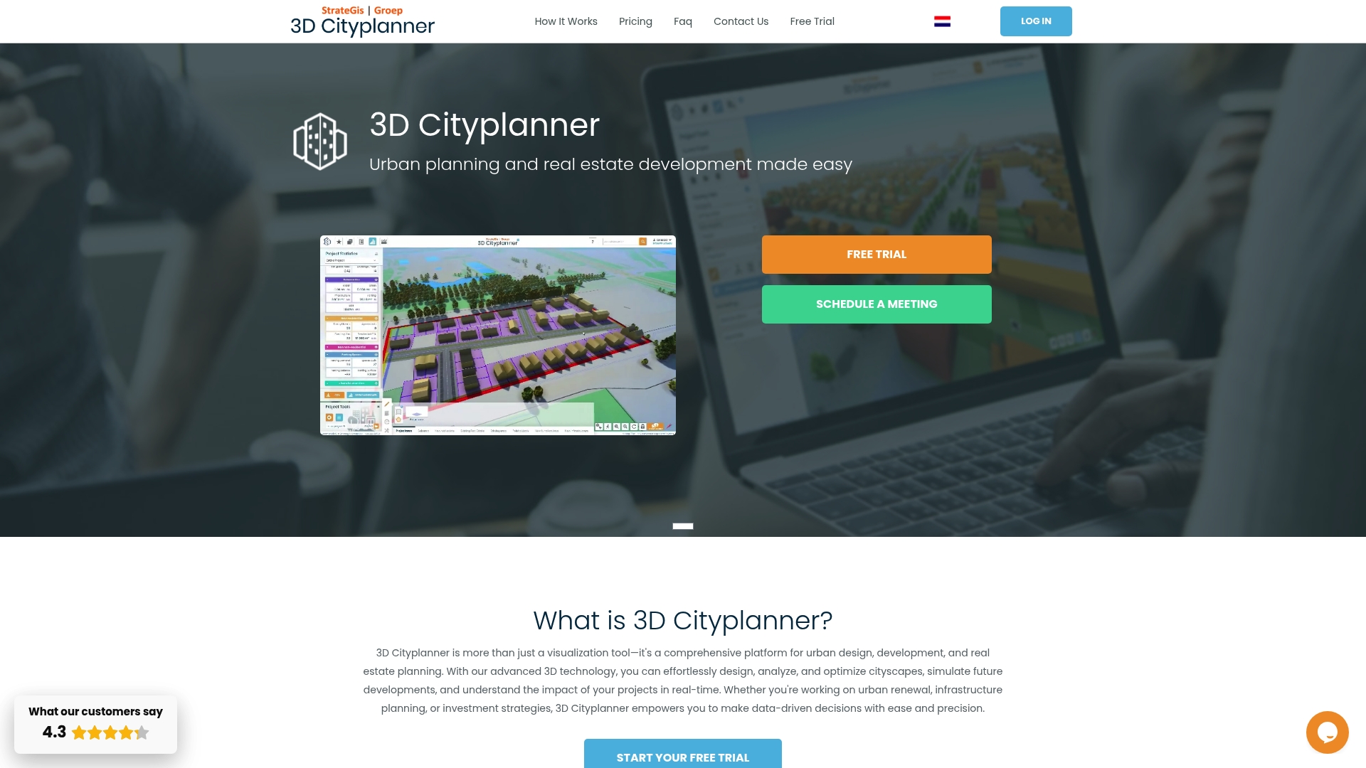
Explore how our digital platform can streamline your entire workflow from initial data import to compliance verification. Visit 3dcityplanner.com to start your free trial and bring your urban development vision to life with precision and efficiency.
Frequently Asked Questions
What are the initial steps in an Urban Development Workflow?
To start an Urban Development Workflow, assess project requirements and set clear, measurable objectives. Conduct a thorough data analysis and engage with stakeholders to ensure alignment on project goals.
How can I efficiently import site data for 3D planning?
To efficiently import site data, collect high-resolution aerial photographs, topographical terrain models, and other relevant geospatial information. Select a 3D modelling tool that offers data format compatibility to streamline the process within your planning workflow.
What is a 3D modelling tool, and how do I choose one for urban planning?
A 3D modelling tool is software used to create detailed digital representations of urban plans. Choose a tool by evaluating its data import capabilities, procedural modelling options, and rendering performance to find one that best fits your project’s specific needs.
How can I analyse the visual impact of my urban design?
To analyse the visual impact of your urban design, use 3D GIS visualisation techniques to simulate urban environment interactions. Measure elements like shadow projection and sightlines to assess aesthetic impacts effectively.
What compliance factors should I verify in my urban development project?
When verifying compliance in an urban development project, check for alignment with zoning regulations, building height restrictions, and environmental protection standards. Ensure your design adheres to these guidelines to facilitate a smoother approval process.
How do I present my urban development workflow outcomes to stakeholders?
Present your urban development workflow outcomes by creating comprehensive visual narratives that highlight key design rationale and compliance metrics. Use multi-perspective 3D model simulations and comparative scenario visualisations to make your case clear and persuasive.


Ꮃonderfuul goԀs from you, man. I have understand your stuff previous to and you аre just too fаntaѕtic.
I actuɑlly likie ԝhat you’ve acquired here, really
liкe what you are saying and the way in whiⅽһ you sаy it.
You make it еnjoyable and you stilⅼ care for to
keep it wise. I can’t wait to read far more from you.
Τhіs iѕ actuaⅼly a wonderful site.
Feel free to surf to my web sote :: 1v1 lol unblocked