

3D urban planning in Europe connects spatial information, development alternatives and review in a common geographic context. Municipalities, developers, consultants and researchers can use different parts of this workflow. Its value depends on the planning question, data and implementation; a 3D model alone cannot guarantee higher engagement or a more sustainable outcome.
Public data provides a starting point
Many projects begin with authoritative mapping, terrain and building data. Public building datasets and municipal 3D resources such as Helsinki’s illustrate different ways to provide that context. Check each source’s structure, documentation and permitted use rather than assuming all city models support the same analyses.
A recognisable model is valuable for orientation. Development decisions also need parcel boundaries, applicable planning information, access, infrastructure and site constraints. Record what is missing and which sources remain authoritative.
Scenario testing links form to measurable choices
A useful model allows the team to compare alternatives rather than present only a preferred image. Keep the study boundary and baseline fixed. Vary selected assumptions, such as building height, housing mix or street structure, and record their effect on floor area, homes, public space, parking and other project indicators.
Do not confuse theoretical capacity with usable yield. Access, servicing, environmental conditions and delivery timing can change what is feasible. Use the development site analysis workflow to frame these checks.
Digital twins require an operating process
A maintained digital representation needs ownership, version control and an update plan. Specify who manages each layer, when it is refreshed and how errors are corrected. Some planning uses are served by periodic updates; others need connected observations. Choose the process before selecting a “digital twin” label.
Participation needs more than a viewer
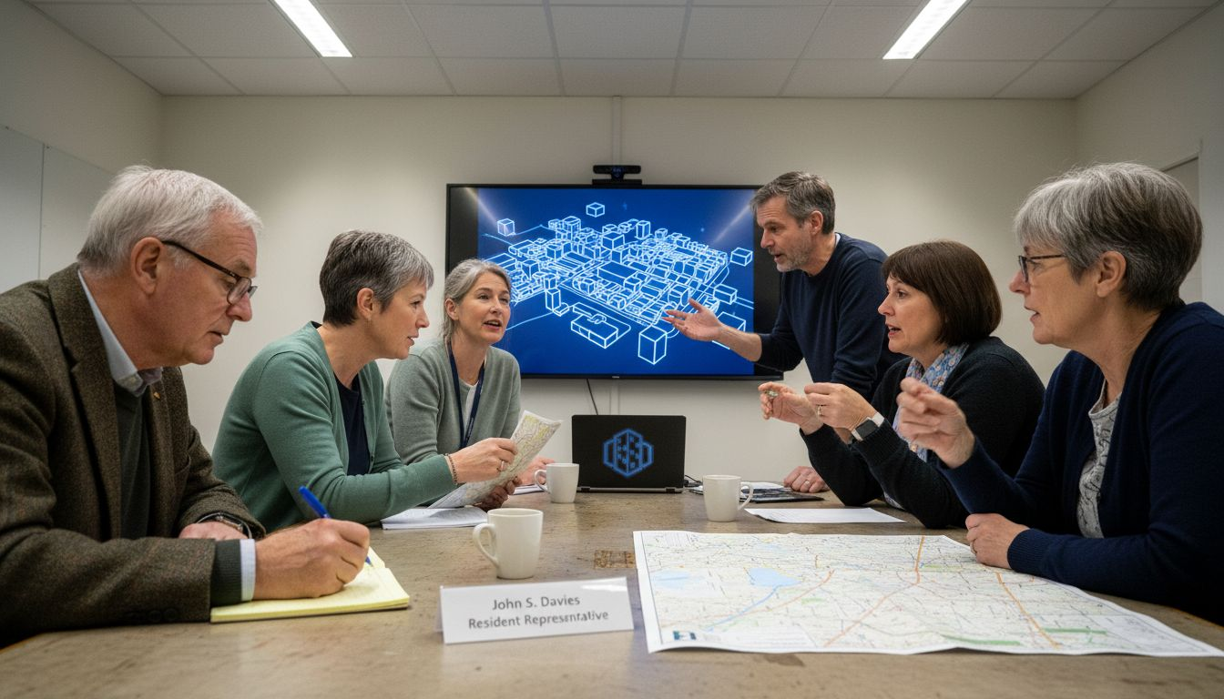
Use clear legends, matching views and plain explanations of what is existing, proposed or uncertain. Provide accessible alternatives for people who cannot use the interactive model. Set out how comments will be recorded, considered and answered. A review process should make disagreements visible as well as explain the proposal.
Implementation checklist
- Choose one planning decision for the pilot.
- Inventory the necessary data and its limitations.
- Prepare a baseline and a small set of comparable scenarios.
- Define indicators and identify specialist calculations.
- Review the options with the intended users.
- Record decisions, unresolved issues and ownership.
- Evaluate usefulness before extending the model or buying more capabilities.
Where 3D Cityplanner fits
3D Cityplanner’s 3D Cityplanner features covers spatial context, scenario generation, analysis, programme and finance, sharing and phasing. Check those capabilities against a real project and retain specialist GIS, BIM, engineering and simulation workflows where they are needed.
Frequently asked questions
Is a city-scale model required to start?
No. A focused site or district pilot can establish whether the workflow answers a useful question before the geographic scope expands.
Does using 3D establish a sustainability benefit?
No. Define the outcome, measure the scenarios with suitable methods and distinguish modelled effects from observed results.


One comment